What Are the Seven Kiridoshi of Kamakura
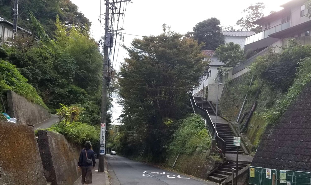
I challenged myself to see if I could walk all seven kiridoshi in Kamakura in a single day.
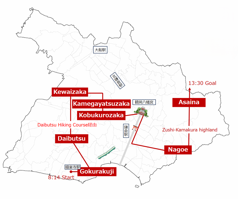
There are seven kiridoshi in Kamakura:Gokurakuji Kiridoshi, Daibutsu Kiridoshi, Kewaizaka, Kamegayatsuzaka, Kobukurozaka, Nagoe Kiridoshi, andAsaina Kiridoshi.
Kamakura faces the sea to the south and is surrounded by mountains on the other three sides, which meant that travel to and from outside regions required crossing mountain passes. For this reason, roads were created by cutting through the mountain ridges to allow the movement of people and goods.
These kiridoshi served two main purposes: as transportation routes that made it easier for people and supplies to travel between Kamakura and surrounding areas, and as defensive strongholds that helped protect the city from enemy invasions.
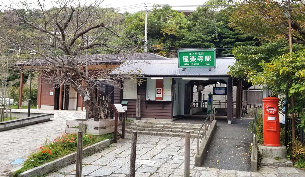
I departed from Gokurakuji Station at 8:14 a.m. and passed through the seventh and final pass, Asahina Kiridoshi, at 1:30 p.m. The entire journey took about five hours and covered a distance of just over 15 kilometers.
It was exhausting, but the sense of accomplishment was tremendous.
【PR】
Cheki is an instant camera that prints photos on the spot.You can hold your photo in your hands right after taking it, turning a travel moment into a tangible memory. Unlike smartphone photos, there are no retakes.
You can also write dates or messages directly on the photo, adding a personal touch.
Each Cheki photo is one of a kind—making it a perfect and memorable souvenir from your trip to Japan.


The item was purchased through your Amazon website.

kiridoshi not included among Kamakura’s Seven Kiridoshi
▶Shakadō Kiridoshi
Currently closed to the public, but there is information suggesting it may reopen in fiscal year 2026.
▶Takano Kiridoshi (also known as Nagakubo Kiridoshi)
▶Ōfuna Kiridoshi
These passes are located within the city of Kamakura, so they are not included among the official Seven Kiridoshi.
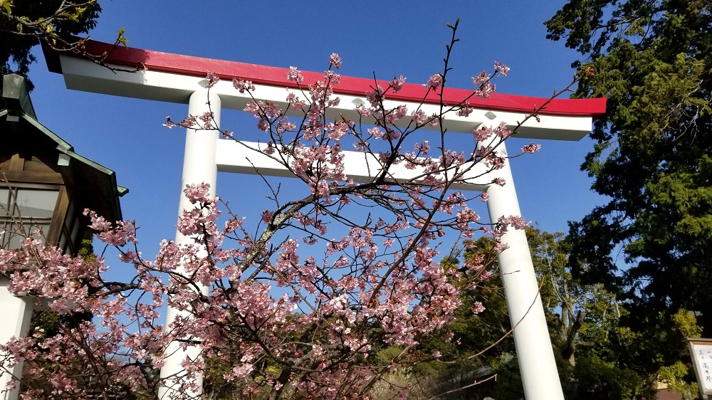
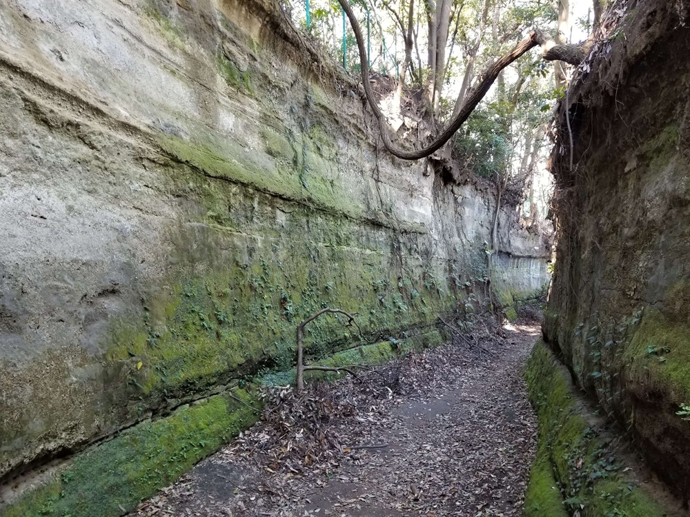
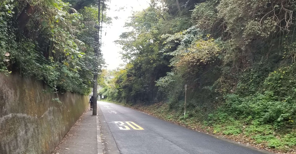
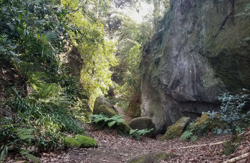
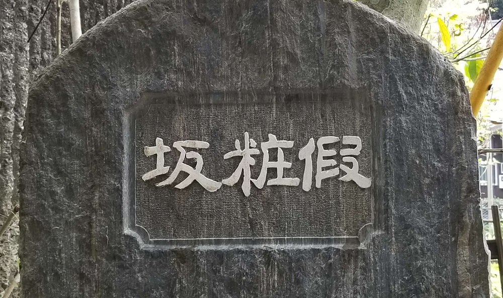
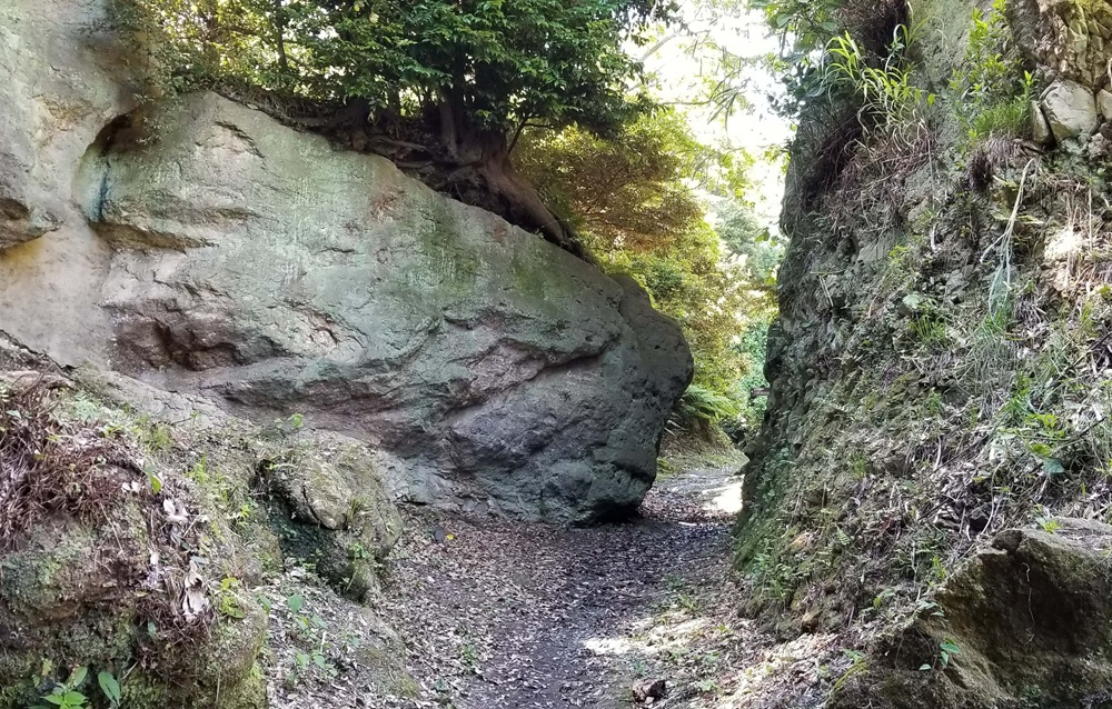
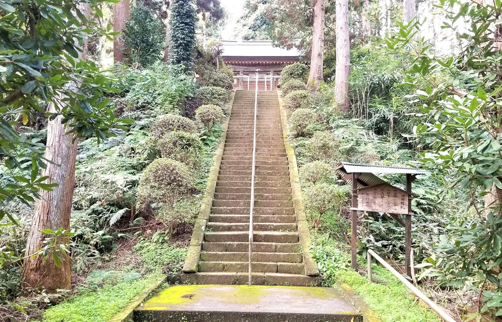
Gokurakuji Kiridoshi
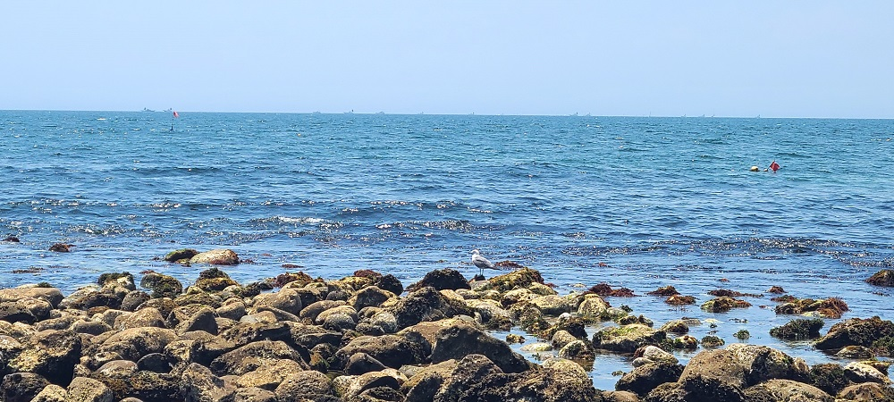
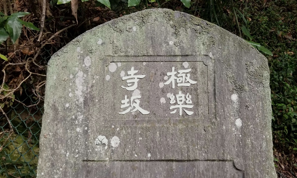
This slope, which runs from Sakanoshita through Gokurakuji and leads toward Shichirigahama and the Katase area, was once an important gateway on the Kamakura–Kyoto route.
Because it extends to the gate of Gokurakuji Temple, it was also known as Gokurakuji-zaka, and it is said to have been cut through the hills by the temple’s founder, Ninshō.
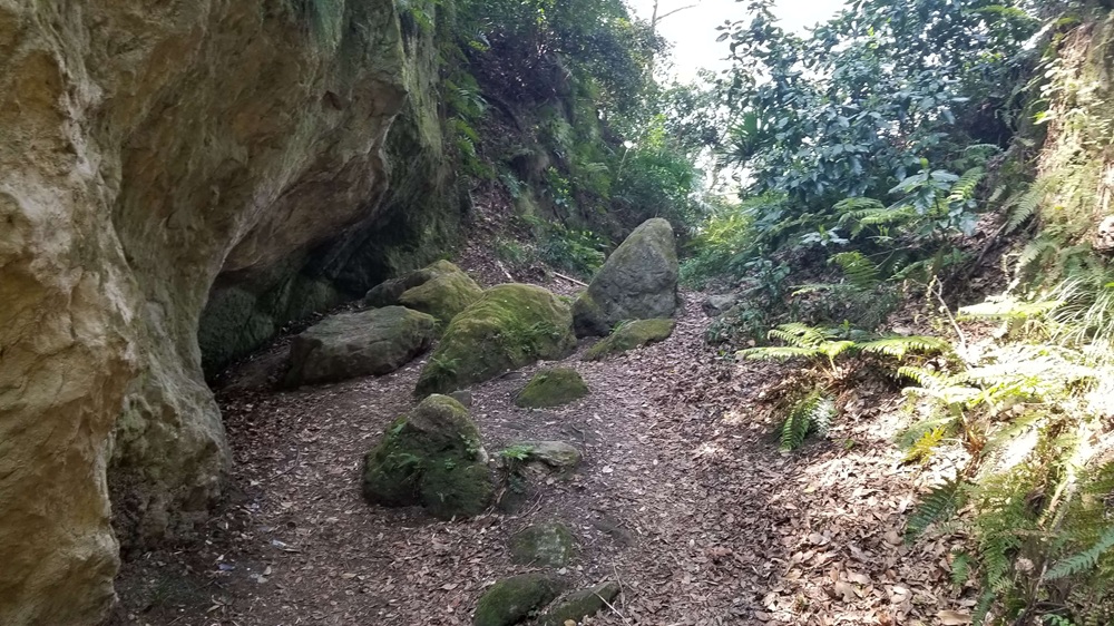
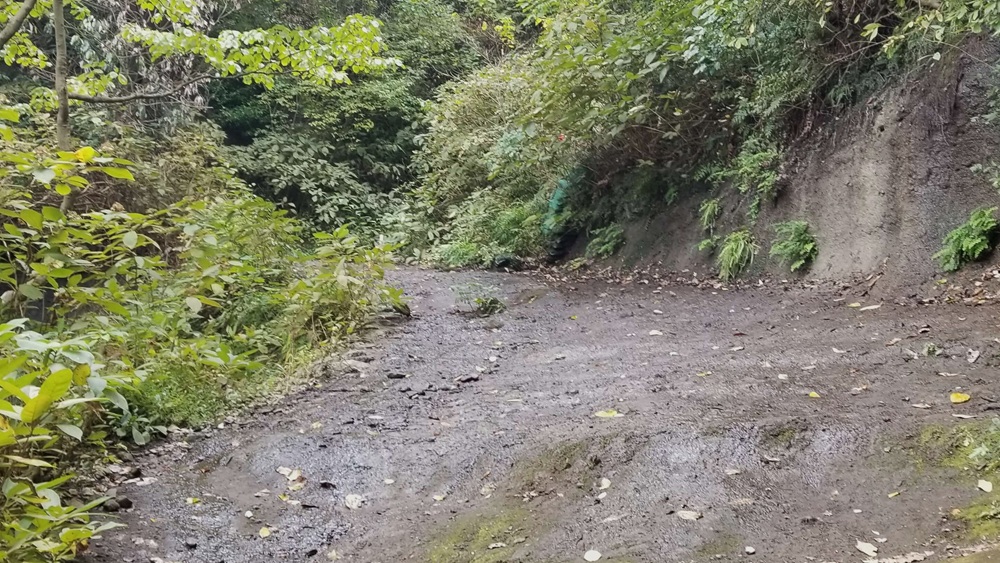
During the Kamakura period, the kiridoshi was a narrow, steep path carved along a cliff, running near what is now the grounds of Jōju-in Temple. In 1333 (Genkō 3), during Nitta Yoshisada’s attack on Kamakura, the Hōjō forces set up defensive gates to block this route and successfully prevented an invasion from this direction.
After abandoning the attempt to break through here, Yoshisada later launched his assault on Kamakura via Inamuragasaki.
Today, the pass has been extensively excavated and widened, and it has become a road used by automobile traffic.
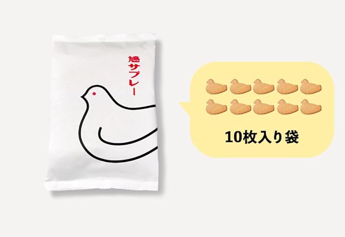
[PR]This is called Hato Sabure, the most famous sweet in Kamakura.
It is a baked sweet with a light, crispy texture, characterized by its adorable dove-shaped design. Each piece is carefully individually wrapped, allowing you to enjoy its freshly baked flavor.”
If you want it a bit more casual or more promotional, I can adjust the tone.
The item was purchased through your Amazon website.

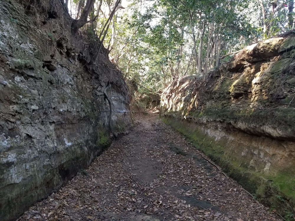
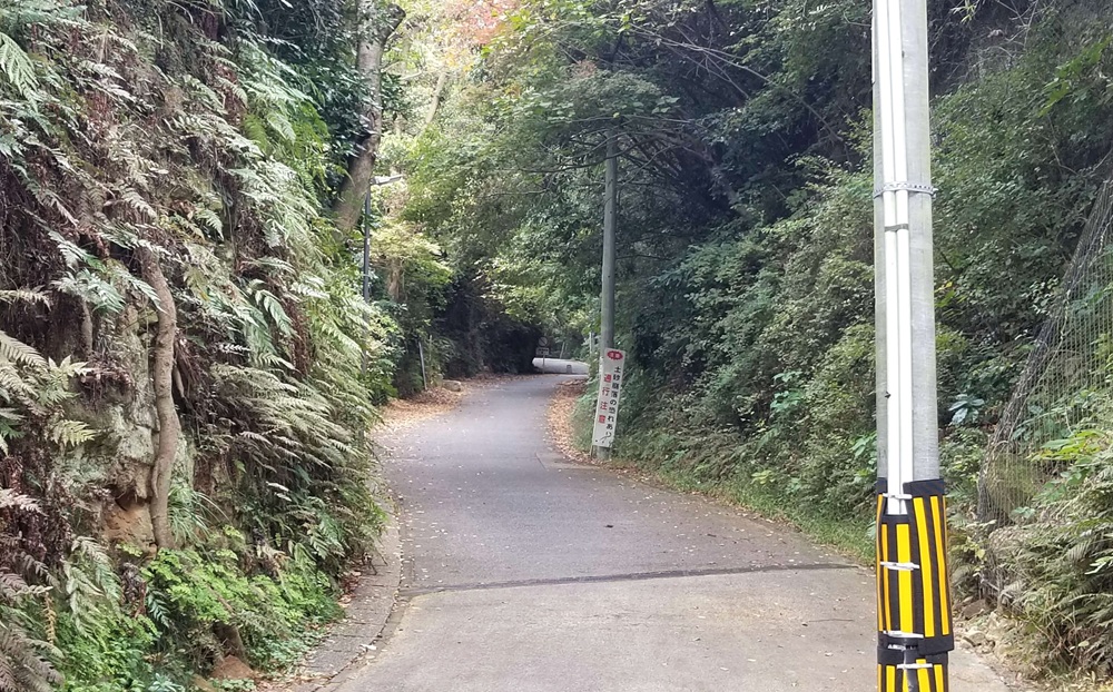
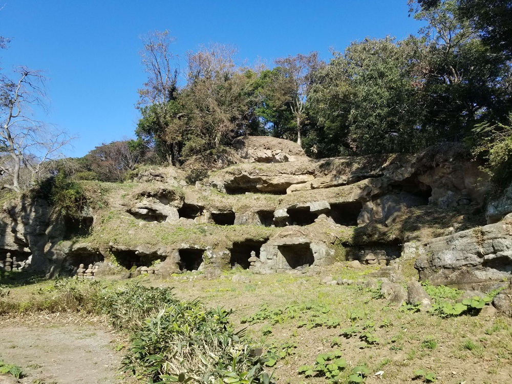
Daibutsu Kiridoshi
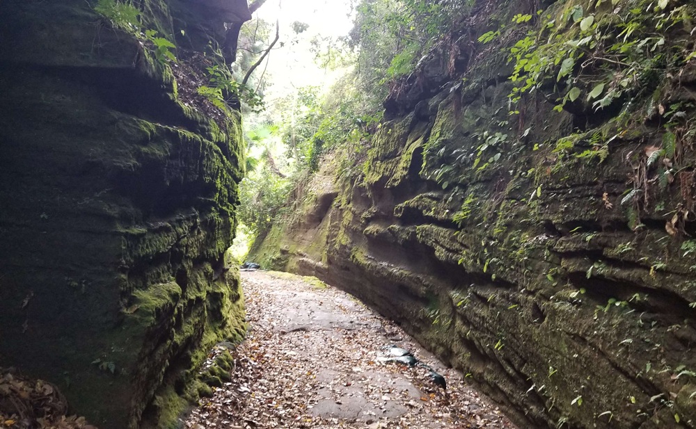
Daibutsu Kiridoshi is a nationally designated historic site and a road that runs from Hase, through Tokiwa, and onward toward the Fujisawa area. It preserves the appearance of a narrow, steep ancient path. Tall, moss-covered rock walls rise closely on both sides, vividly conveying the rugged, mountainous atmosphere that is so characteristic of Kamakura.
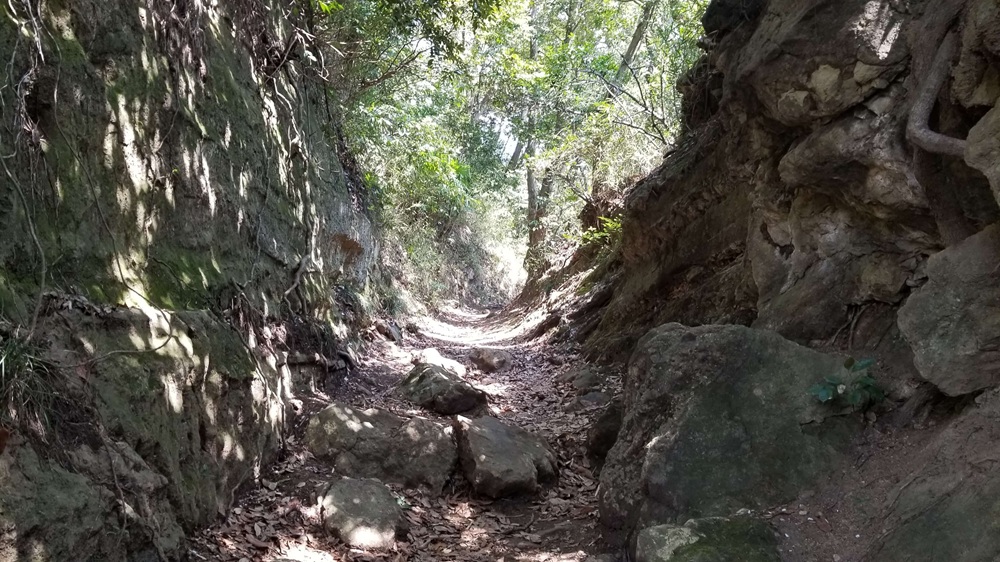
This kiridoshi was improved several times from the Edo period through the Meiji period. Near the entrance on the Tokiwa side, there are rock faces where yagura cave tombs and gorintō stone pagodas can still be seen. In the surrounding area are places known as Azumazaka and Naka-no-saka, names that are thought to derive from slopes that once led to Daibutsu Kiridoshi.
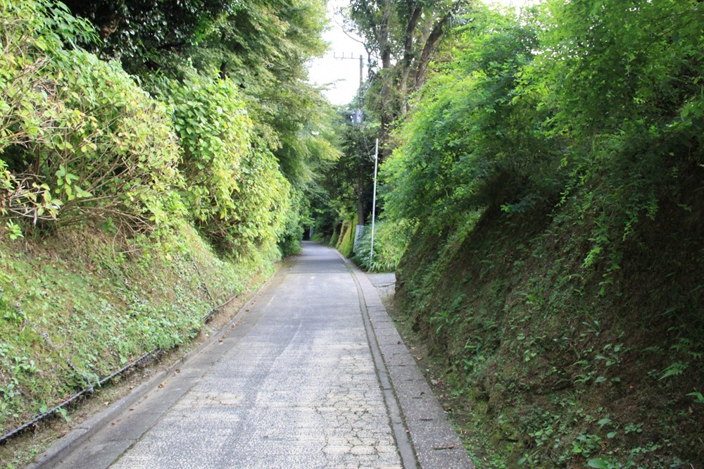
Kewaizaka
Kewaizaka Kiridoshi is a nationally designated historic site and an important route that once connected Ōgigayatsu and Sasuke with Kajiwara, the Fujisawa area, and further on to Musashi Province. Even today, it retains the atmosphere of an ancient mountain road.
Historical documents record the name with various spellings, including Keshō, Kisei, and Kiwabi, and there are several theories regarding its origin.
Some link the name to the practice of inspecting enemy heads (kubijikken), while others suggest a connection to the presence of brothels, or propose that it derived from kihae (“trees growing thickly”), referring to the once-dense vegetation of the area.
In the Azuma Kagami, under the entry for December 3, 1251 (Kenchō 3), the name “Kiwabi-zaka” appears.
In 1333 (Genkō 3), fierce fighting took place here when Nitta Yoshisada advanced on Kamakura, and this was one of the locations where the shogunate forces were defeated. Even today, the slope remains steep and can be slippery in places, so caution is advised. At the top of the pass, the path leads into Genjiyama Park.
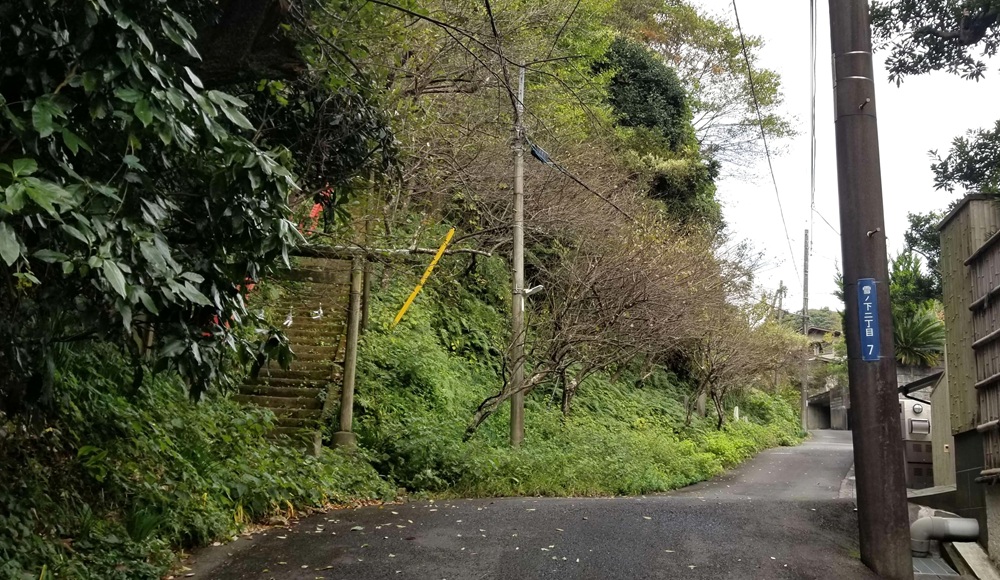
Kamegayatsuzaka
Kamegayatsu-zaka Kiridoshi was an important route connecting Ōgigayatsu and Yamanouchi and leading onward to Musashi Province (roughly corresponding to today’s Tokyo and Saitama areas). It is a nationally designated historic site and is still used today as a local access road.
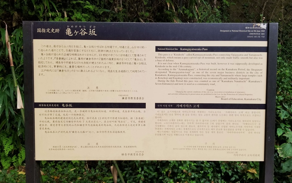
The slope remains steep even now, but in the past it was said to have been even more formidable. According to legend, a turtle from Daikaku Pond at Kenchō-ji Temple attempted to climb the hill but had to turn back—or even flipped over—giving rise to the name “Kamegaeri-zaka,” meaning “Turtle-Turning-Back Slope.
Kobukurozaka
Kobukurozaka Kiridoshi was a route that ran from in front of Ōme Seiten Shrine, crossed the ridgeline, and led to the area in front of Kenchō-ji Temple. Located on the road from Yuki-no-shita to Yamanouchi, it served as an important route for travel to Hitachi and the Ōshū (northeastern) region.
Today it is written as Kobukurozaka, but in earlier times it appeared under various names, including Kobukuro-zaka, Kobukuroji-zaka, and Kobukurorei-zaka.
Although the pass is no longer open as a through route, it is a nationally designated historic site where Edo-period Kōshin monuments and dōsojin guardian stones still remain.
During the Kamakura period, the road was extremely steep and difficult to pass. According to the Azuma Kagami, the third shikken (regent), Hōjō Yasutoki, ordered repairs to be carried out. Later, during Nitta Yoshisada’s attack on Kamakura in 1333, the forces of Horiguchi Sadamitsu broke through this pass and advanced into the city.
The present road running from the west side of Tsurugaoka Hachimangū to Kita-Kamakura, however, was opened much later, in 1886 (Meiji 19).
This guidebook is extremely useful for anyone visiting Kamakura. I recommend purchasing and reading it before coming to Japan.
The item was purchased through your Amazon website.

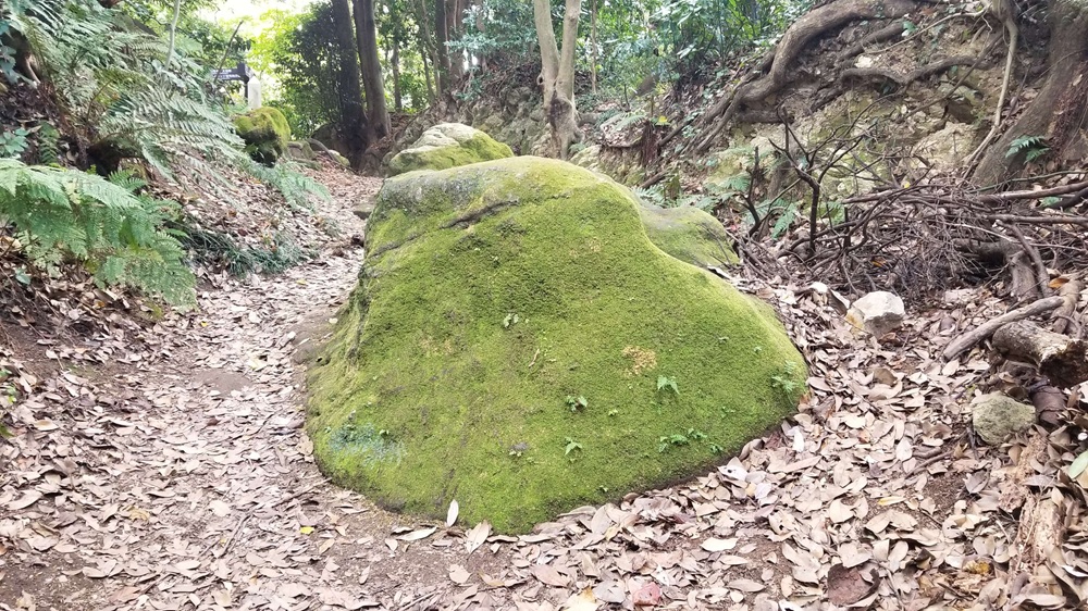
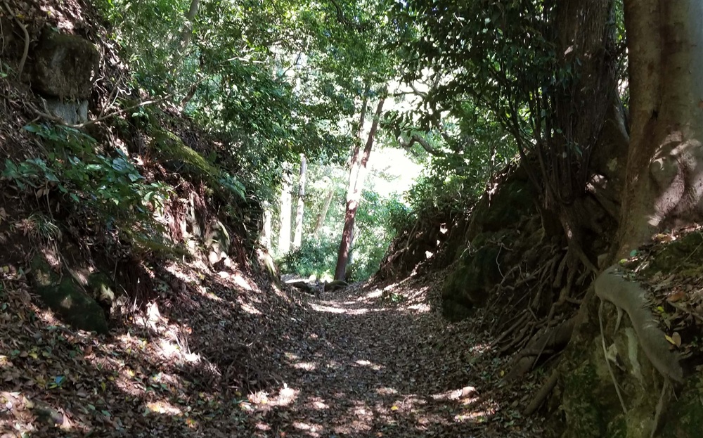
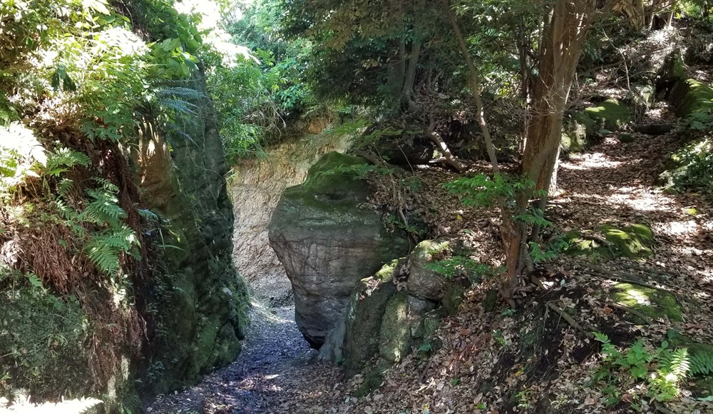
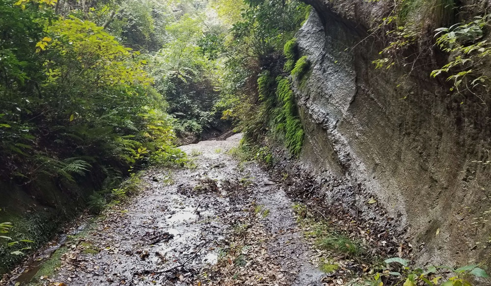
Nagoe Kiridoshi
Nagoe Kiridoshi was carved as an important route connecting Kamakura, through the Miura Peninsula, across Tokyo Bay, and onward to Awa (present-day southern Chiba Prefecture).
It also held strategic significance for the Hōjō clan, serving as a defensive measure to keep the allied Miura clan in check.
The road runs above the present-day Nagoe Tunnel, and because it was a steep and difficult path, it was historically called “Nagoshi” (meaning “difficult to cross”), which is said to be the origin of the place name.
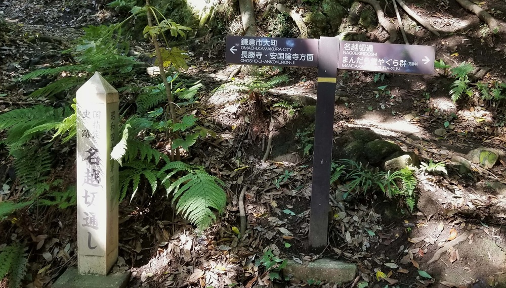
It is a nationally designated historic site, and while the exact date of its excavation is unknown, the Azuma Kagami mentions “Nagoe-zaka” in the entry for August 1233 (Tenpuku 1), suggesting that the pass was already in use by that time.
The kiridoshi retains much of its original appearance. On the northern side, visitors can see the Mandarado Yagura group of cave tombs, and along the mountainside, there are historical sites such as Taisekigan (Osaruhatake), where traces of stone quarrying remain.
The pass was also a key route leading to Kinugasa Castle of the Miura clan, making it an important point in the defense of Kamakura.
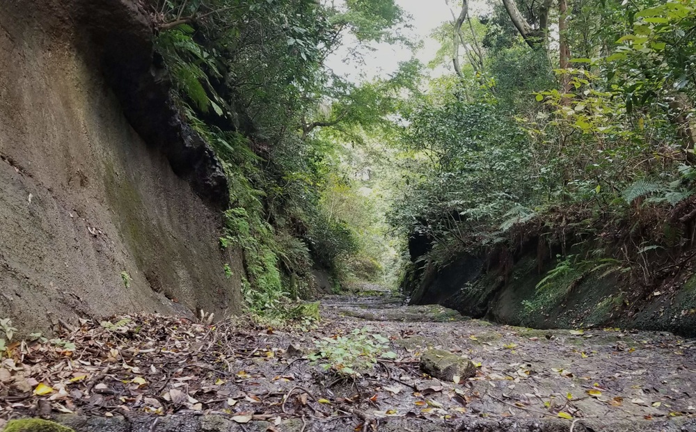
Asaina Kiridoshi
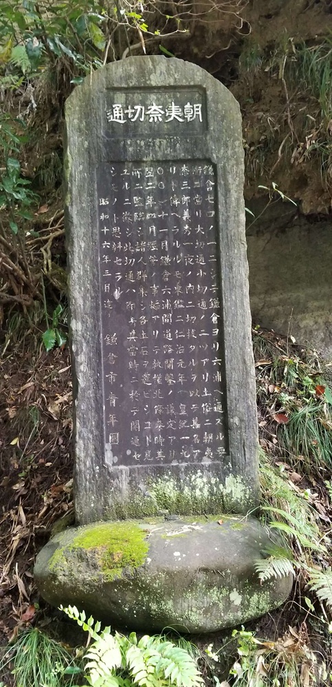
Asaina Kiridoshi is the Kamakura Seven Kiridoshi pass that best preserves the appearance of an ancient road and is a nationally designated historic site.
Because it connected Kamakura with Mutsuura (present-day Kanazawa Ward, Yokohama), it was also called “Mutsuura-guchi” and served as a key defensive point on Kamakura’s eastern side.
According to legend, the renowned hero Asaina Saburō Yoshihide cut the pass through the mountains in a single night.
Historical records, however, indicate that construction was officially decided in 1240 (Jinji 1), and the work was carried out the following year under the supervision of the third shikken, Hōjō Yasutoki, as recorded in the Azuma Kagami.
The pass was used as an important transportation route for goods entering Kamakura, particularly salt.
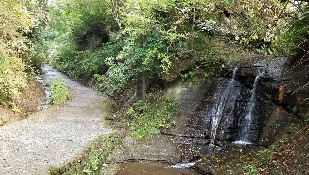
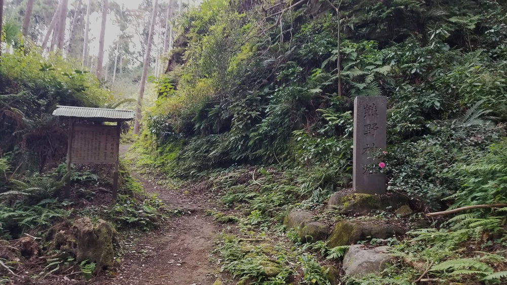
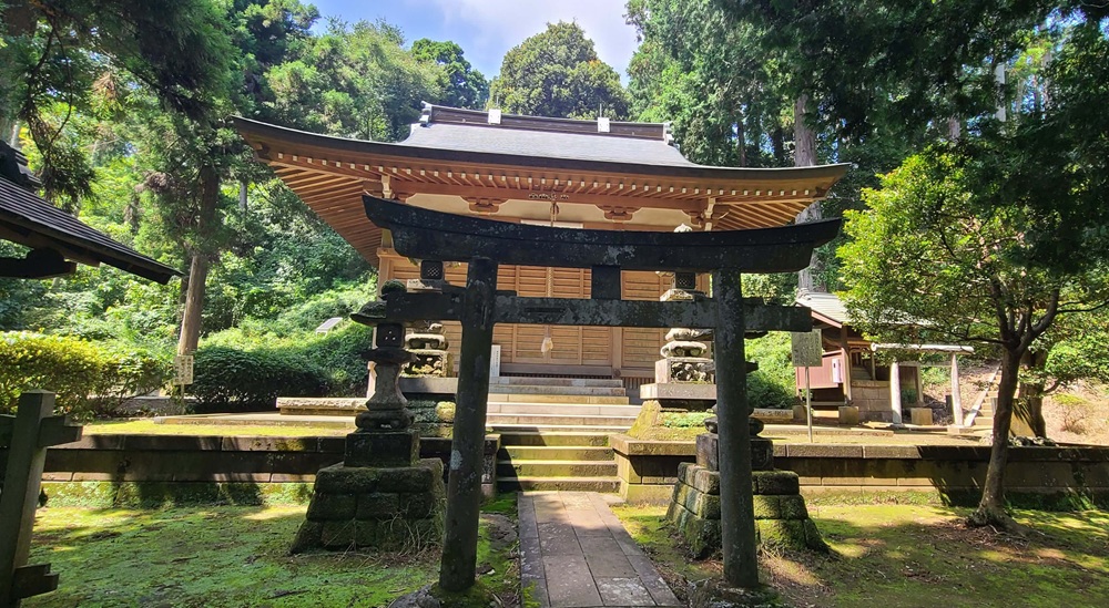
If you make it all the way to Asaina Kiridoshi, I highly recommend taking a detour to Kumano Shrine.
Strictly speaking, it’s located in Yokohama, but the site is quiet, solemn, and has an almost magical atmosphere. It’s sure to leave a lasting impression.
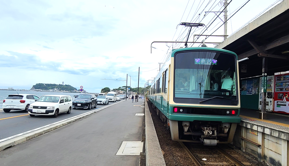
After passing through Asahina Kiridoshi, I took a bus from the nearest stop back to Ōfuna Station to return home.
Including breaks at convenience stores and a few detours along the way, the entire journey took about five hours.
コメント